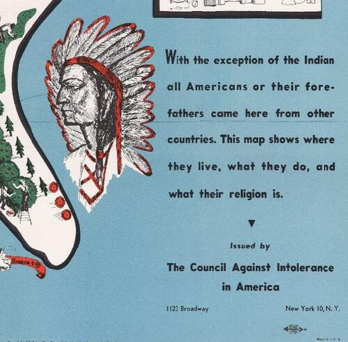
This exhibition explores four different maps, produced between the 18th and 20th centuries. These maps are the result of worldwide exploration and speculative imaginations (World Maps), a drive to convert peoples in far-flung places (Missionary Map), and the global immigrations of peoples that make up a diverse nation (Tolerance Map). Though these maps have different aims, they share one important theme: religion. This exhibition explores the intersection of maps and religion, and it asks what happens when the two come at a crossroad.
Curatorial note: rather than taking a definitive or narrative approach to the objects on display, this exhibition uses different types of maps as an opportunity to ask broader questions about how maps categorize people and advocate ideals, and how religion has been used to understand and navigate the world we inhabit. This curatorial approach understands museums as institutions for fostering critical thinking skills, and exhibitions as opportunities for visitors to question the world. In this online exhibition, visitors will be prompted with questions and are welcomed to reach out through the “Contact me” button at the bottom of the exhibition. Enjoy!
Curated by Stéphanie Machabée, PhD Candidate, Religious Studies